


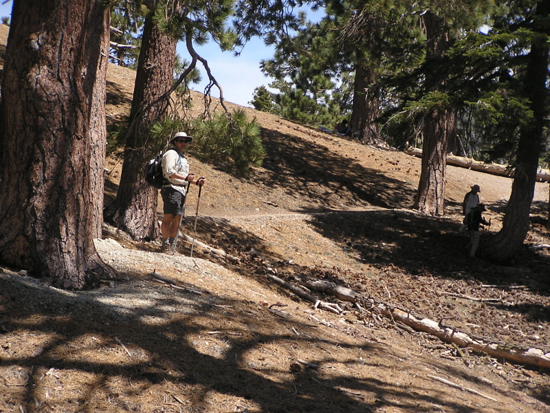
| Icehouse Canyon Trail: Approaching the Saddle, which is just beyond that fallen tree on the right. Photo by Bob Dollins |
|
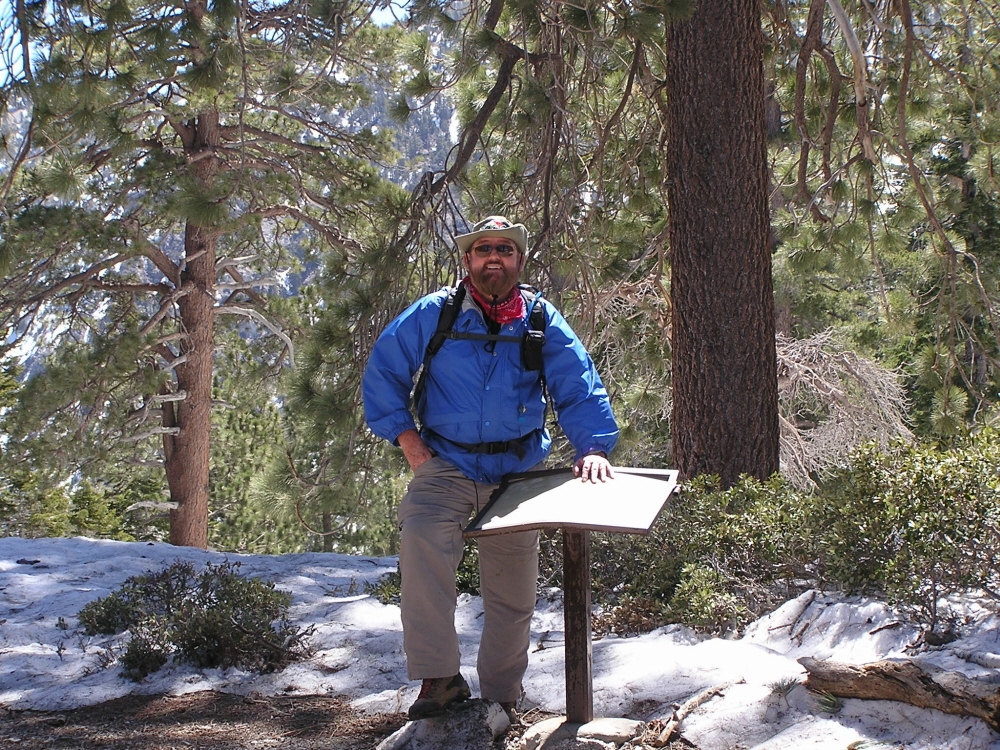
| Icehouse Canyon Trail: At the Saddle on a June 2, 2007 hike, standing behind trail info sign.
Trailmarker to Kelly Camp and Ontario Peak can be seen in the background. Photo by Bob Dollins |

|
| Icehouse Canyon Trail: At the Saddle on a April 12, 2008 hike, standing behind trail info sign.
Notice the snow behind me. On this day, down in the San Gabriel Valley, it was 90 degrees! Photo by Bob Dollins |
|
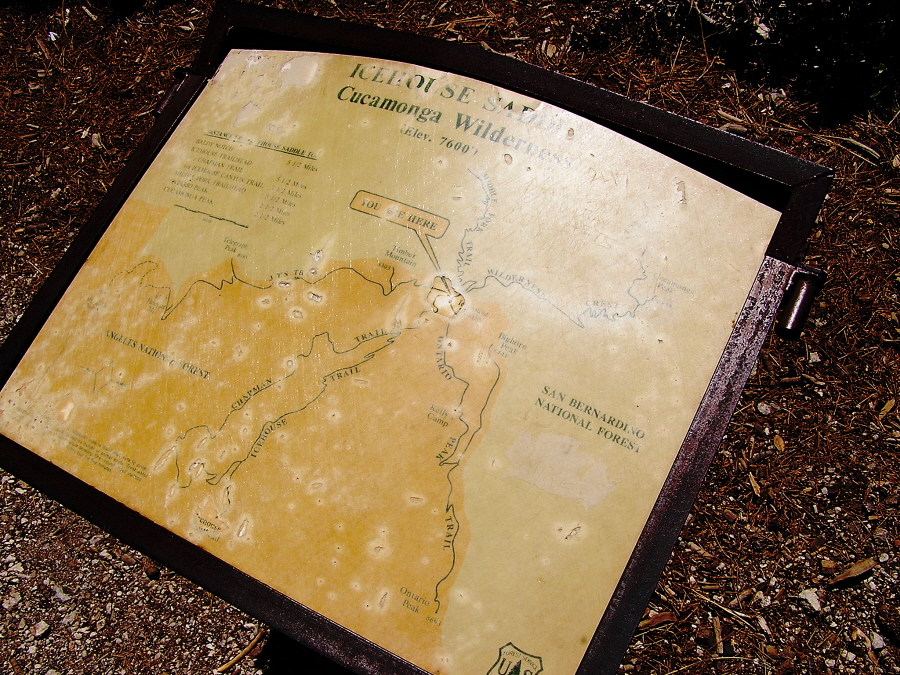
| Icehouse Canyon Trail: Closeup of the USFS trail info sign at the Saddle taken on a June 13, 2008 hike. Photo by Bob Dollins |
|