|Home |Park Trails Map |Woodrat Flats |Park Entrance |Sawpit Road |Sawpit Dam |LA Skyline |Trask Camp |BO Trailhead |Sawpit Canyon |The Gap |Vassar Canyon |Firing Range |Twin Springs Trailhead |Twin Springs |Deer Park Trailhead |Deer Park |White Saddle |Wildlife |Plantlife |

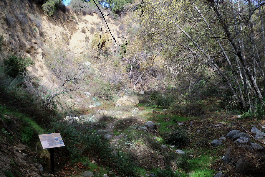
This is the "Revised" portion of the Ben Overturff Trail as it rises from the bottom of Sawpit Canyon, heading towards Twin Springs and passes through
an area known as"The Meadow." The trail used to go along the ridge you can see in the background but ongoing erosion has made this route too dangerous.
The new trail rejoins the old trail at Woodrat Flats.
For a Google Maps © satellite view of this location (green arrow), click here.
|
|
|Top of Page |Home |Park Trails Map |Park Entrance |Sawpit Road |Sawpit Dam |LA Skyline |Trask Camp |BO Trailhead |Sawpit Canyon |The Gap |Vassar Canyon |Firing Range |Twin Springs Trailhead |Twin Springs |Deer Park Trailhead |Deer Park |White Saddle |Wildlife |Plantlife |
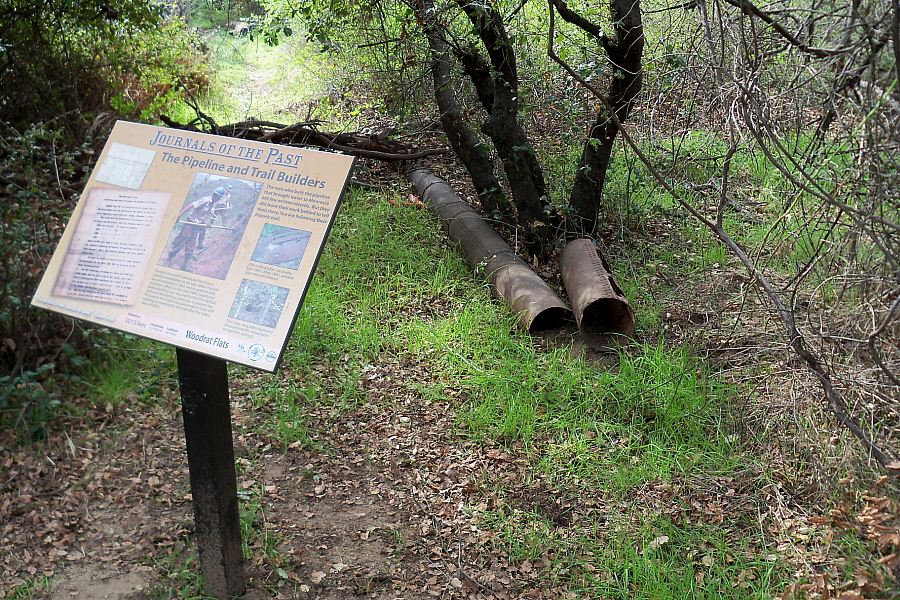
Woodrat Flats where the "new" trail rejoins the "old" trail that used to cross over a natural land bridge. Click on the trail sign for a closeup view.
|
URL for this page: http://hikertechnologies.com/bo_trail_mdw.htm
This page developed by Bob Dollins © 2002-2013
GIF Art - Copyright © 1995-1998 IDG Books Worldwide, Inc.
Version (01.09): October 10, 2012