|Home |Park Trails Map |Natural Bridge |Info Sign |Park Entrance |Sawpit Road |Sawpit Dam |LA Skyline |Trask Camp |BO Trailhead |Sawpit Canyon |The Meadow |The Gap |Vassar Canyon |BO Spillway |Firing Range |Twin Springs Trailhead |Deer Park Trailhead |Deer Park |White Saddle |Wildlife |Plantlife |

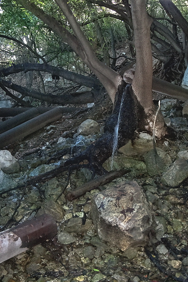
View of Twin Springs with water pouring out of old water pipes that were once used to funnel water from the springs to the City of Monrovia.
|
|
|Top of Page |Info Sign |Home |Park Trails Map |Park Entrance |Sawpit Road |Sawpit Dam |LA Skyline |Trask Camp |BO Trailhead |Sawpit Canyon |The Meadow |The Gap |Vassar Canyon |BO Spillway |Firing Range |Twin Springs Trailhead |Deer Park Trailhead |Deer Park |White Saddle |Wildlife |Plantlife |
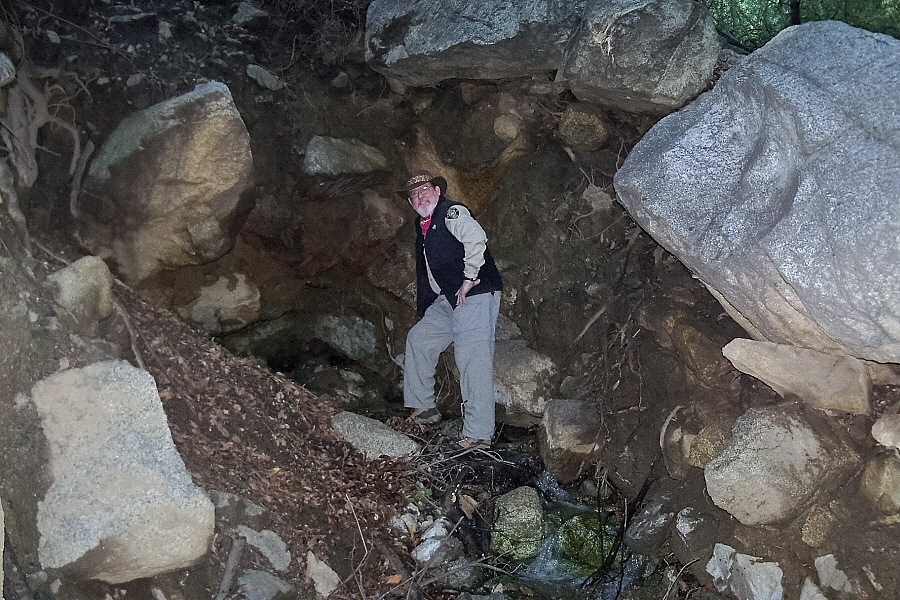
View of rare natural bridge that spring water from the slope above runs through. Notice the large granite boulders above me. Would have been a heck of a time for an earthquacke!
|
|Top of Page |Natural Bridge |Home |Park Trails Map |Park Entrance |Sawpit Road |Sawpit Dam |LA Skyline |Trask Camp |BO Trailhead |Sawpit Canyon |The Meadow |The Gap |Vassar Canyon |BO Spillway |Firing Range |Twin Springs Trailhead |Deer Park Trailhead |Deer Park |White Saddle |Wildlife |Plantlife |
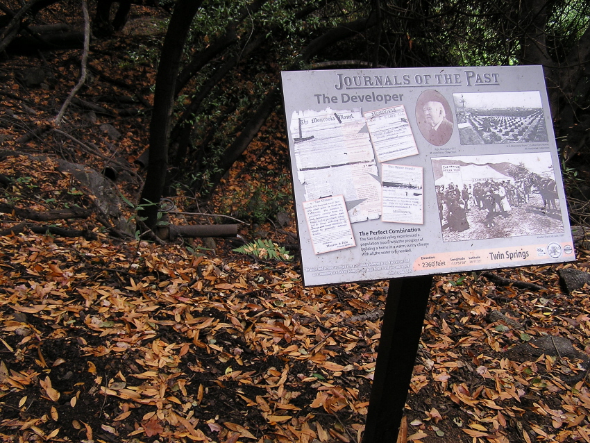
View of Twin Springs from Ben Overturff Trail. Click on Informational Sign for a closeup view. For a Google Maps © satellite view of this location, click here.
|
URL for this page: http://hikertechnologies.com/twin_sprgs.htm
This page developed by Bob Dollins © 2002-2012
GIF Art - Copyright © 1995-1998 IDG Books Worldwide, Inc.
Version (01.11): October 10, 2012