|Home |Park Trails Map |Gauging Station |Info Plaque |Back of Dam |Park Entrance |Sawpit Road |LA Skyline |Trask Camp |BO Trailhead |Sawpit Canyon |The Meadow |The Gap |Vassar Canyon |BO Spillway |Firing Range |Twin Springs Trailhead |Twin Springs |Deer Park Trailhead |Deer Park |White Saddle |Wildlife |Plantlife |

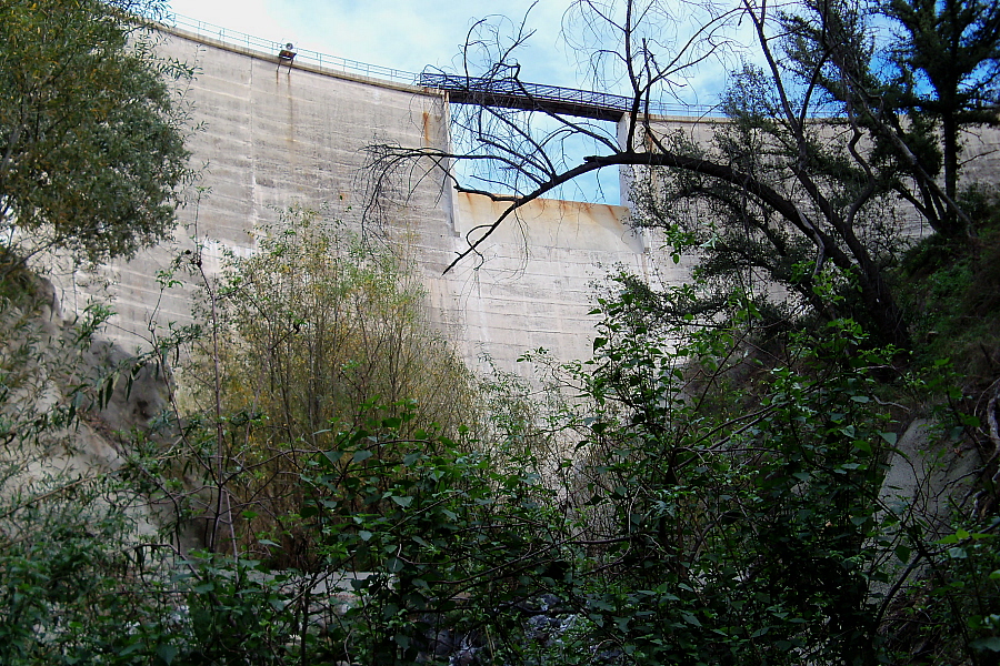
A view of the Sawpit Dam face taken from below.
|
|
|Home |Park Trails Map |Top of Page |Info Plaque |Back of Dam |Park Entrance |Sawpit Road |LA Skyline |Trask Camp |BO Trailhead |Sawpit Canyon |The Meadow |The Gap |Vassar Canyon |BO Spillway |Firing Range |Twin Springs Trailhead |Twin Springs |Deer Park Trailhead |Deer Park |White Saddle |Wildlife |Plantlife |
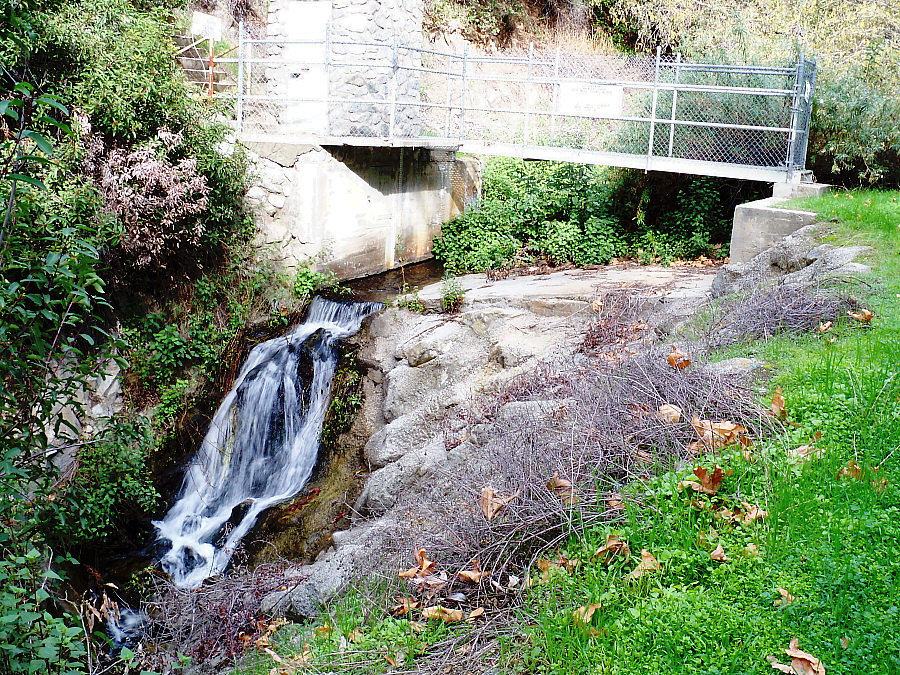
Gauging station below the Sawpit Dam maintained by the L.A. County Flood Control District.
|
|Home |Park Trails Map |Top of Page |Gauging Station |Back of Dam |Park Entrance |Sawpit Road |LA Skyline |Trask Camp |BO Trailhead |Sawpit Canyon |The Meadow |The Gap |Vassar Canyon |BO Spillway |Firing Range |Twin Springs Trailhead |Twin Springs |Deer Park Trailhead |Deer Park |White Saddle |Wildlife |Plantlife |
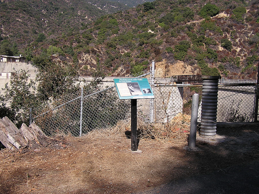
Informational plaque you will find when you reach the top of Sawpit Dam - Elev 1,384'.
Click on info plaque or spillway for closeup views. For a Google Maps ©
satellite view of this location, click here
|
|Home |Park Trails Map |Top of Page |Gauging Station |Info Plaque |Park Entrance |Sawpit Road |Cabin |LA Skyline |Trask Camp |BO Trailhead |Sawpit Canyon |The Meadow |The Gap |Vassar Canyon |BO Spillway |Firing Range |Twin Springs Trailhead |Twin Springs |Deer Park Trailhead |Deer Park |White Saddle |Wildlife |Plantlife |
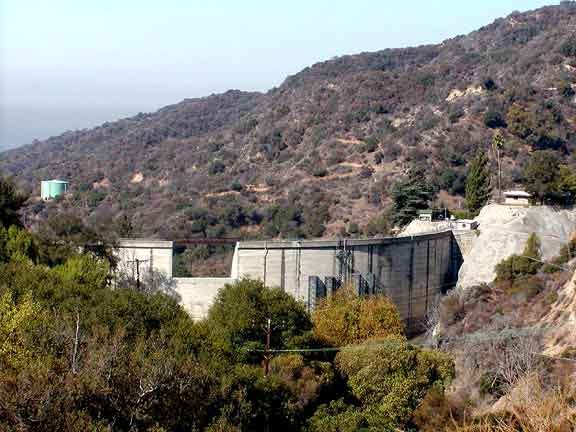
A view of the backside of Sawpit Canyon Dam from the Sawpit Canyon fire road.
|
URL for this page: http://hikertechnologies.com/sawpit_dam.htm
This page developed by Bob Dollins © 2002-2013
GIF Art - Copyright © 1995-1998 IDG Books Worldwide, Inc.
Version (01.17): October 10, 2012