|Home |Park Trails Map |Park Entrance |Sawpit Road |Sawpit Dam |LA Skyline |Trask Camp |BO Trailhead |Sawpit Canyon |The Meadow |Vassar Canyon |BO Spillway |Firing Range |Twin Springs Trailhead |Twin Springs |Deer Park Trailhead |Deer Park |Wildlife |Plantlife |

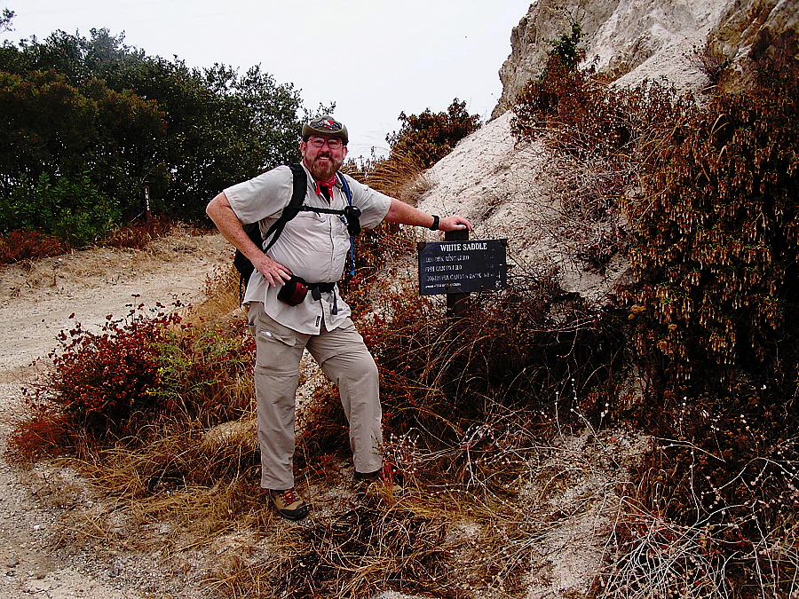
This is White Saddle, a little over 1.5 miles and 45 minutes from the Deer Park Trailhead. From this point you can:
For a Google Maps © satellite view of this location (it will be indicated by an orange teardrop). click here.
Click on the trail marker in the photo below for a closeup view.
|
|
|Top of Page |Home |Park Trails Map |Park Entrance |Sawpit Road |Sawpit Dam |LA Skyline |Trask Camp |BO Trailhead |Sawpit Canyon |The Meadow |Vassar Canyon |BO Spillway |Firing Range |Twin Springs Trailhead |Twin Springs |Deer Park Trailhead |Deer Park |Wildlife |Plantlife |
URL for this page: http://hikertechnologies.com/white_saddle.htm
This page developed by Bob Dollins © 2008-2015 - All Rights Reserved
GIF Art - Copyright © 1995-1998 IDG Books Worldwide, Inc.
Version (01.12): November 3, 2014