|Home |Park Trails Map |Park Entrance |Sawpit Road |Sawpit Dam |LA Skyline |Trask Camp |BO Trailhead |Sawpit Canyon |The Meadow |The Gap |Vassar Canyon |Firing Range |BO Spillway |Twin Springs |Deer Park Trailhead |Deer Park |White Saddle |Wildlife |Plantlife |

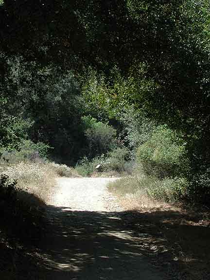
This is looking Northward on the Sawpit Canyon Fireroad, towards the sign marking the Twin Springs Trailhead. The trailhead is about 3.2 miles from the park entrance, via the fireroad.
|
|
|Top of Page |Home |Park Trails Map |Park Entrance |Sawpit Road |Sawpit Dam |LA Skyline |Trask Camp |BO Trailhead |Sawpit Canyon |The Meadow |The Gap |Vassar Canyon |BO Spillway |Firing Range |Twin Springs |Deer Park Trailhead |Deer Park |White Saddle |Wildlife |Plantlife |
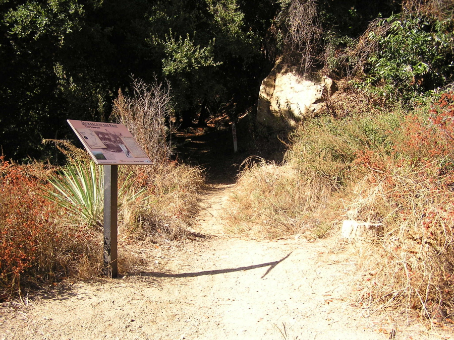
This is the Twin Springs Trailhead of the Ben Overturff Trail. Click on the info sign for a closeup view.
|
URL for this page: http://hikertechnologies.com/twinsprings_jct.htm
This page developed by Bob Dollins © 2002-2013
GIF Art - Copyright © 1995-1998 IDG Books Worldwide, Inc.
Version (01.14): October 10, 2012